CARTA NÁUTICA

Taxonomía

Código

Nota(s) sobre el alcance

Nota(s) sobre el origen

Mostrar nota(s)

Términos jerárquicos

CARTA NÁUTICA

Términos equivalentes

CARTA NÁUTICA

Términos asociados

CARTA NÁUTICA

324 Descripción archivística results for CARTA NÁUTICA

324 resultados directamente relacionados Excluir términos relacionados

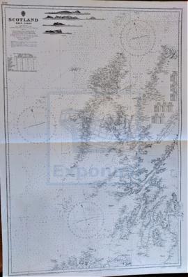
GRAN BEREBI TO CAPE THREE POINTS

  • ES EXPONAV CARTAS NÁUTICAS CCN-000193
  • Unidad documental simple
  • 1836
  • Parte deCARTAS NÁUTICAS

Zona Geográfica: Costa oeste de África
Contiene dos recuadros: Gran Berebi to Jack Jack con Sassandra anchorage y Jack Jack to cape Three Points con port Bouet

INSTITUTO HIDROGRÁFICO INGLATERRA

CAPE ST. ANN TO CAPE THREE POINTS

  • ES EXPONAV CARTAS NÁUTICAS CCN-000231
  • Unidad documental simple
  • 1836
  • Parte deCARTAS NÁUTICAS

Zona Geográfica: Costa oeste de África
Tierras de Sierra Leona, Liberia; costa de Ivory y costa Dorada

INSTITUTO HIDROGRÁFICO INGLATERRA

ISLE OF MAN

  • ES EXPONAV CARTAS NÁUTICAS CCN-000124
  • Unidad documental simple
  • 1843
  • Parte deCARTAS NÁUTICAS

Zona Geográfica: Mar de Irlanda
Aparece la isla de Man. Contiene recuadros con las bahías de Castletown y Ramsey, el puerto de St. Mary, Calf Sound, Port Erin y Peel.

INSTITUTO HIDROGRÁFICO INGLATERRA

SCOTLAND

  • ES EXPONAV CARTAS NÁUTICAS CCN-000139
  • Unidad documental simple
  • 1846
  • Parte deCARTAS NÁUTICAS

Zona Geográfica: costa oeste de Escocia
Costa oeste de Escocia con las islas de Lewis, Uist, Barra, Coll, Tiree, Islay, Jura, Tory y Arran

INSTITUTO HIDROGRÁFICO INGLATERRA

FIRTH OF CLYDE AND LOCH FYNE

  • ES EXPONAV CARTAS NÁUTICAS CCN-000037
  • Unidad documental simple
  • 1846
  • Parte deCARTAS NÁUTICAS

Zona Geográfica: Escocia Costa Oeste
Costa Oeste de Escocia con la isla de Arran, la península de Kintyre y la isla de Bute.
Incluye recuadros con el puerto de Troon y el de Caladh. Islas Burnt y Sanda

INSTITUTO HIDROGRÁFICO INGLATERRA

CYPRUS

  • ES EXPONAV CARTAS NÁUTICAS CCN-000116
  • Unidad documental simple
  • 1849
  • Parte deCARTAS NÁUTICAS

Zona Geográfica: Mar Mediterráneo
Isla de Chipre

INSTITUTO HIDROGRÁFICO INGLATERRA

CAPE WRATH TO THE FLANNAN ISLES

  • ES EXPONAV CARTAS NÁUTICAS CCN-000177
  • Unidad documental simple
  • 1849
  • Parte deCARTAS NÁUTICAS

Zona Geográfica: Costa norte de Escocia
Aparecen las tierras de Lewis y las tierras de Sutherland y Cromarty separadas por el North Minch

INSTITUTO HIDROGRÁFICO INGLATERRA

ISLAND OF ISLAY

  • ES EXPONAV CARTAS NÁUTICAS CCN-000236
  • Unidad documental simple
  • 1852
  • Parte deCARTAS NÁUTICAS

Zona Geográfica: Costa oeste de Escocia
Aparecen las islas de Islay y Jura; bahía de Laggan

INSTITUTO HIDROGRÁFICO INGLATERRA

Resultados 21 a 30 de 324