ORKNEY ISLANDS
Ajouter au presse-papier
Zona Geográfica: Escocia. Islas Orcadas
INSTITUTO HIDROGRÁFICO INGLATERRA
PRAWLE POINT TO HENGISTBURY HEAD
Ajouter au presse-papier
Zona Geográfica: Costa sur de Inglaterra
INSTITUTO HIDROGRÁFICO INGLATERRA
RIVER GAMBIA ENTRANCE
Ajouter au presse-papier
Zona Geográfica: Costa Oeste de África. Gambia
INSTITUTO HIDROGRÁFICO INGLATERRA
RIVER TYNE TO ST. ABBS HEAD
Ajouter au presse-papier
Zona Geográfica: Costa este de Inglaterra
INSTITUTO HIDROGRÁFICO INGLATERRA
SÈTE TO MARSEILLES
Ajouter au presse-papier
Zona Geográfica: Costa Sur de Francia. Mar Mediterráneo
INSTITUTO HIDROGRÁFICO INGLATERRA
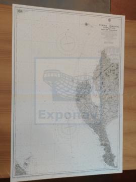
SHETLAND ISLES
Ajouter au presse-papier
Zona Geográfica: Islas británicas
INSTITUTO HIDROGRÁFICO INGLATERRA