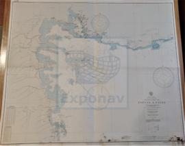
SIYAL ISLAND TO MASAMIRIT ISLET
- ES EXPONAV CARTAS NÁUTICAS CCN-000294
- Item
- 1830
Part of CARTAS NÁUTICAS
Zona Geográfica: Mar Rojo
Aparecen las tierras de Arabia Saudí y Sudán.
Incluye recuadros con: Marsa Halaka a 1:36940; Khor Shin'ab a 1:72980; Marsa Arakiyai a 1:36830; Al Lith a 1:72000; Al Qunfidha a 1:72060 y Jalajil a 1:90500
INSTITUTO HIDROGRÁFICO INGLATERRA