FAEROE ISLANDS TO NORWAY
Add to clipboard
Zona Geográfica: Atlántico norte
INSTITUTO HIDROGRÁFICO INGLATERRA
ENGLISH CHANNEL. EASTERN PORTION
Add to clipboard
Zona Geográfica: Canal de la Mancha
INSTITUTO HIDROGRÁFICO INGLATERRA
ENGLISH CHANNEL. WESTERN PORTION
Add to clipboard
Zona Geográfica: Canal de la Mancha
INSTITUTO HIDROGRÁFICO INGLATERRA
FIRTH OF SOLWAY
Add to clipboard
Zona Geográfica: Costa oeste de Inglaterra
INSTITUTO HIDROGRÁFICO INGLATERRA
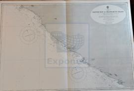
CESTOS BAY TO GRAND BUTU POINT
Add to clipboard
Zona Geográfica: Costa Oeste de África. Liberia
INSTITUTO HIDROGRÁFICO INGLATERRA
ISLANDS AND BANKS BETWEEN SAN SALVADOR AND SANTO DOMINGO
Add to clipboard
Zona Geográfica: Islas de las Indias Occidentales
INSTITUTO HIDROGRÁFICO INGLATERRA
CORK HARBOUR AND APPROACHES
Add to clipboard
Zona Geográfica: Costa sur de Irlanda
INSTITUTO HIDROGRÁFICO INGLATERRA
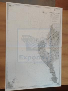
THE NORTH SEA
Add to clipboard
Zona Geográfica: Mar del Norte
INSTITUTO HIDROGRÁFICO INGLATERRA