- ES EXPONAV CARTAS NÁUTICAS CCN-000043
- Unidad documental simple
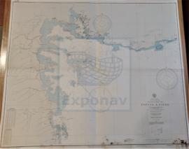
- 1933
Parte deCARTAS NÁUTICAS
Zona Geográfica: Indias Occidentales
Recuadro del puerto de Cristóbal Colón.
Recuadro de Bocas del Dragón, el Golfo de Paria, costa de Venezuela y las islas de Patos, Chacachacare, Huevos, Monos y Trinidad
INSTITUTO HIDROGRÁFICO INGLATERRA