- ES EXPONAV CARTAS NÁUTICAS CCN-000269
- Unidad documental simple
- 1908
Parte deCARTAS NÁUTICAS
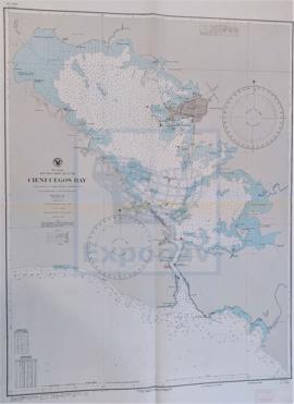
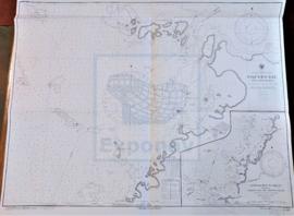
Zona Geográfica: Costa sur de Cuba. Indias Occidentales
Aparecen los cayos de Manzanillo (cayo Largo, cayo Grande, cayo Gua, cayo Blanco), la ciudad de Manzanillo y la bahía Caimanera
INSTITUTO HIDROGRÁFICO ESTADOS UNIDOS DE AMÉRICA